California’s long drought finally over
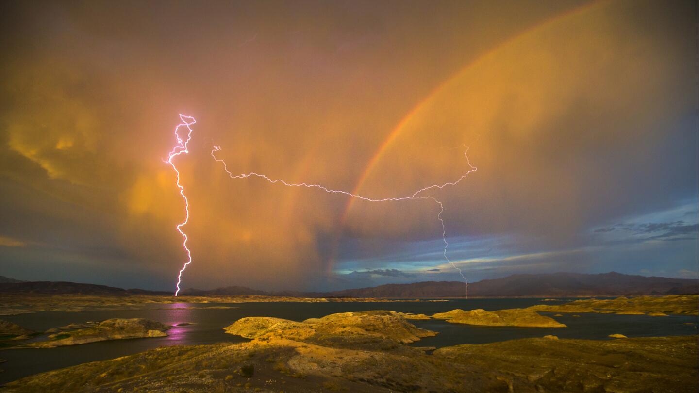
Lightning strikes as a rainbow arches over Lake Mead, which straddles Nevada and Arizona. The lake’s water level has dropped almost 1,000 feet in just 17 years as the area is plagued by drought.
(Allen J. Schaben / Los Angeles Times)Five years of extreme drought officially ended Friday.
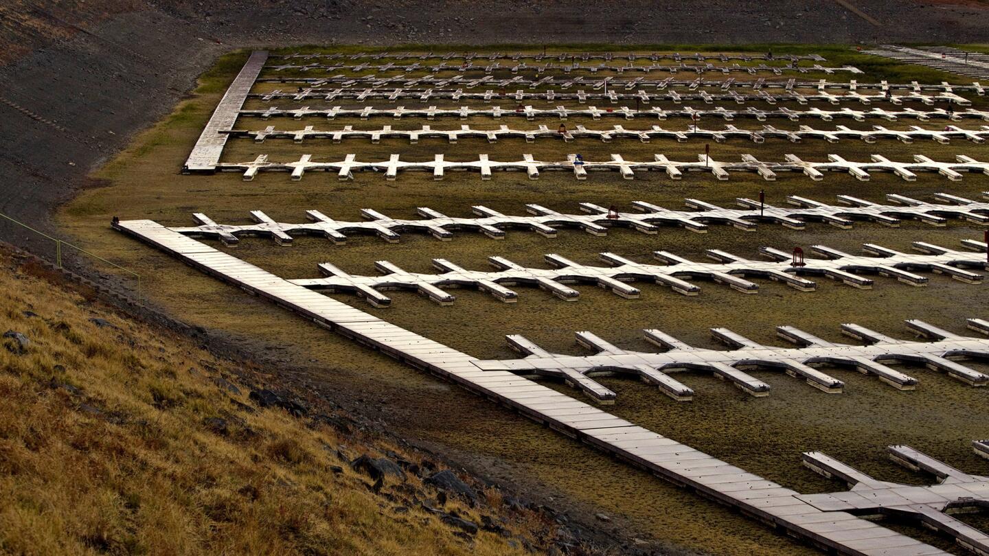
Severe drought conditions reveal more than 600 empty docks sitting on dry, cracked dirt at Folsom Lake Marina, which is one of the largest inland marinas in California. (Allen J. Schaben / Los Angeles Times)
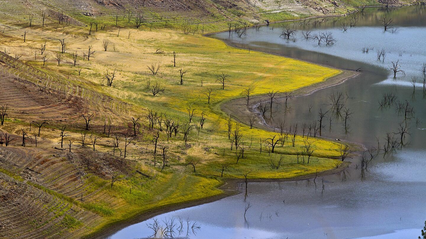
Water rings mark receding levels of the Pine Flat Reservoir. (Allen J. Schaben / Los Angeles Times)
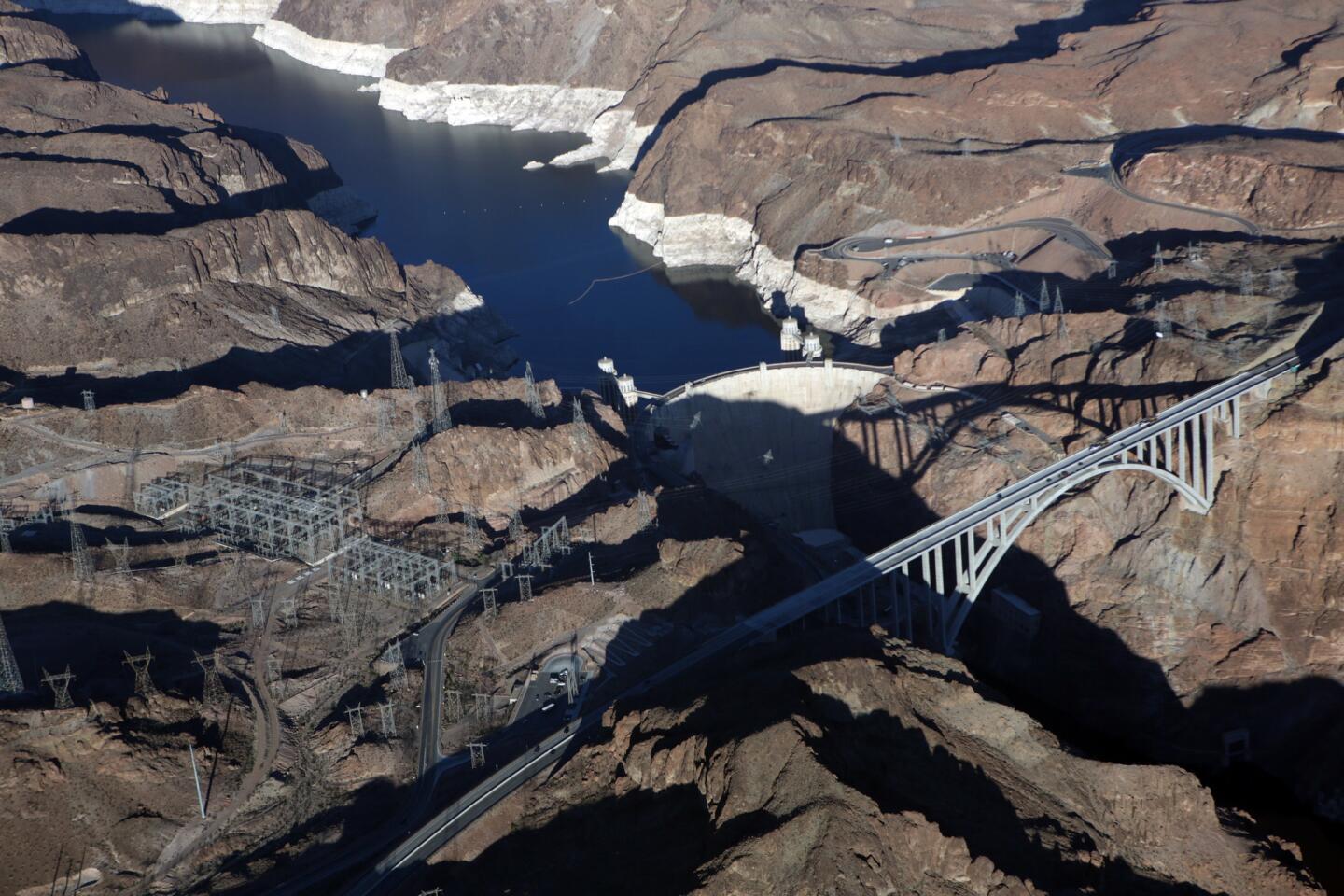
The water level in Lead Mead at the Hoover Dam shows the “bath tub ring” on October 15, 2015.
(Irfan Khan / Los Angeles Times)Advertisement
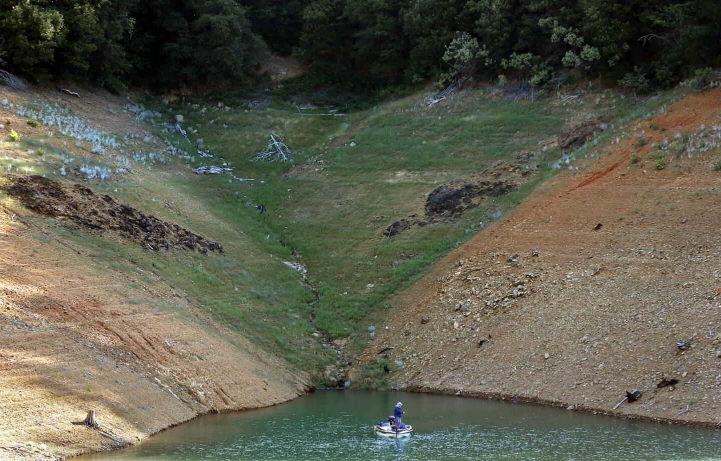
As the California drought grinds into it’s fourth year, the exposed shoreline of Shasta Lake shows the steady drop in water level.
(Don Bartletti / Los Angeles Times)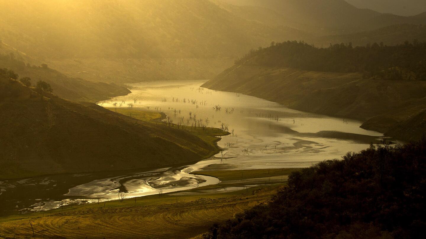
The sunrise illuminates the receding waters of Pine Flat Reservoir, one of California’s most severely depleted dams. (Allen J. Schaben / Los Angeles Times)
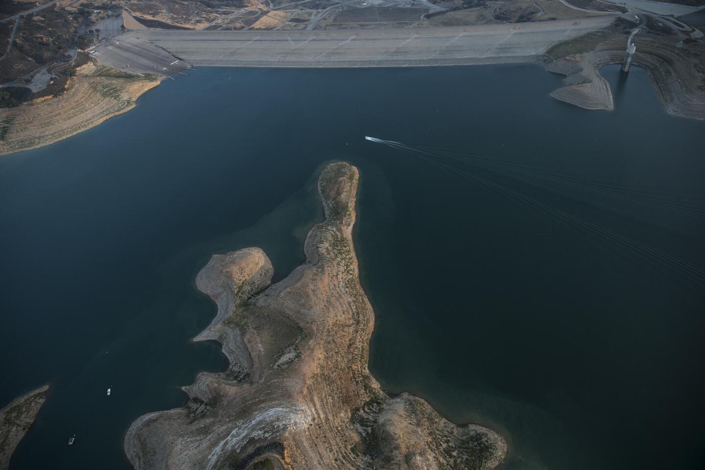
Exposed shoreline shows low water levels at Castaic Lake.
(Robert Gauthier / Los Angeles Times)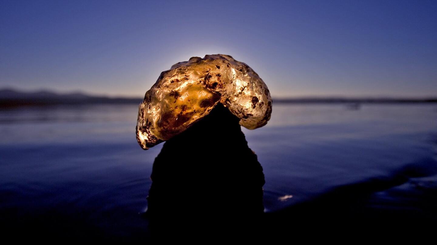
A translucent freshwater bryozoa is illuminated by the rising sun on the receding banks of Folsom Lake, which was 35% of capacity as of Sept. 30. One of the lake’s five boat ramps remains in operation and boaters are restricted to 5 mph. (Allen J. Schaben / Los Angeles Times)
Advertisement
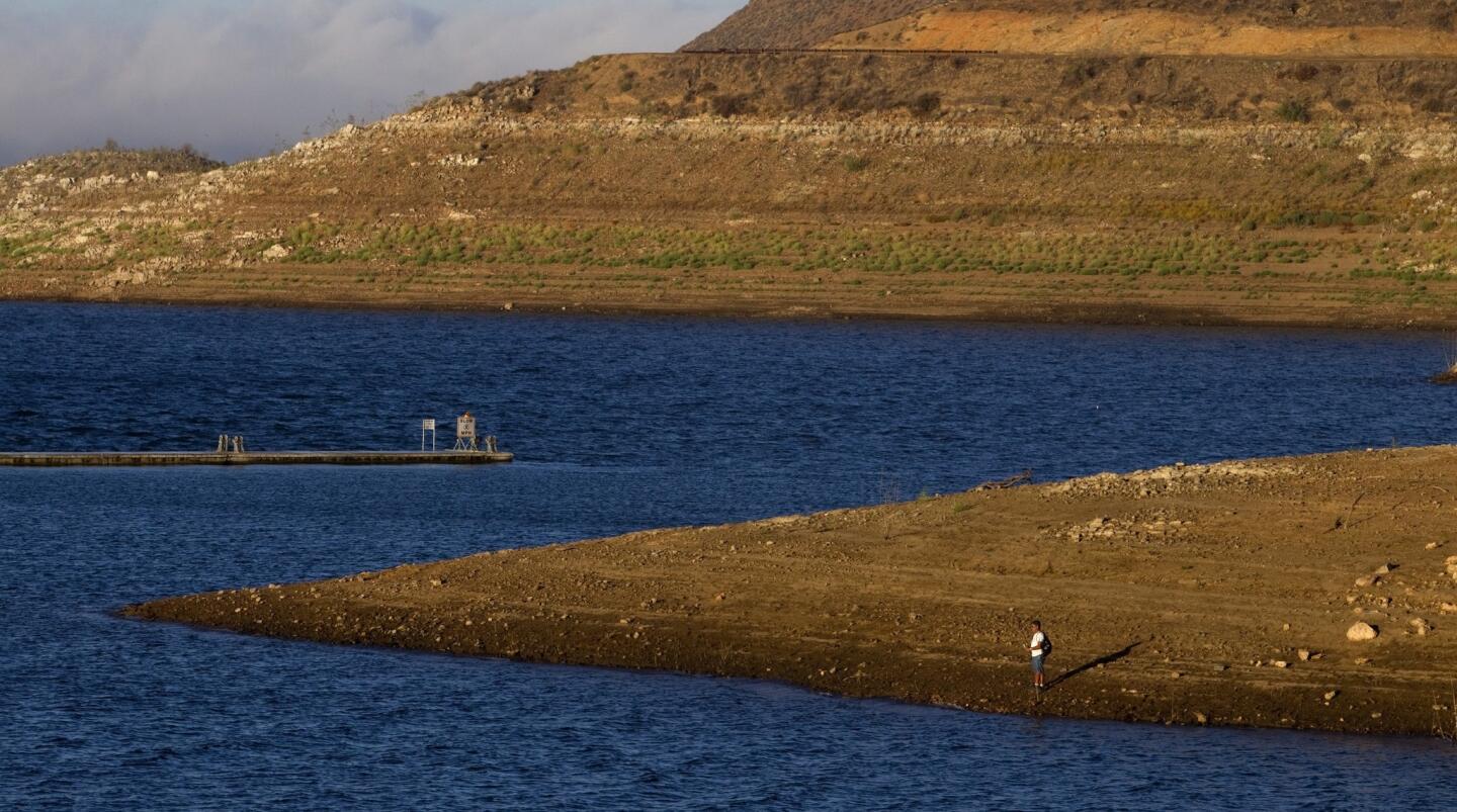
At sunrise, the effects of California’s ongoing drought are evident at Diamond Valley Lake, a Riverside County reservoir. In a mega-drought scenario, most of the state’s reservoirs would never fill up. (Allen J. Schaben / Los Angeles Times)
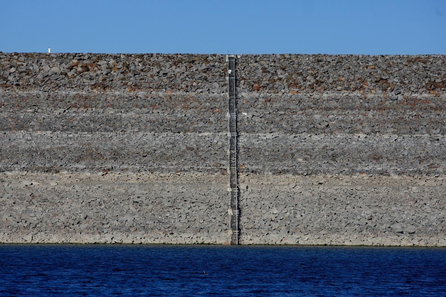
Rings on the dam at Diamond Valley Lake show the dropping water levels. In a mega-drought, scientists say Californians would stop dumping most of their treated sewage and urban runoff from rain storms into the Pacific Ocean and instead add it to their water supply. (Allen J. Schaben / Los Angeles Times)
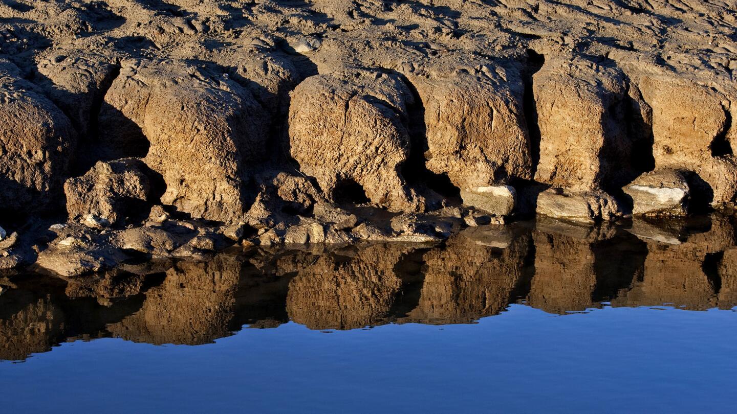
Patterns are created and reflected from water receding on the bed of Folsom Lake. As the state ends the fourth-driest water year on record with no guarantee of significant rain and snow this winter, Californians face the prospect of stricter rationing and meager irrigation deliveries. (Allen J. Schaben / Los Angeles Times)
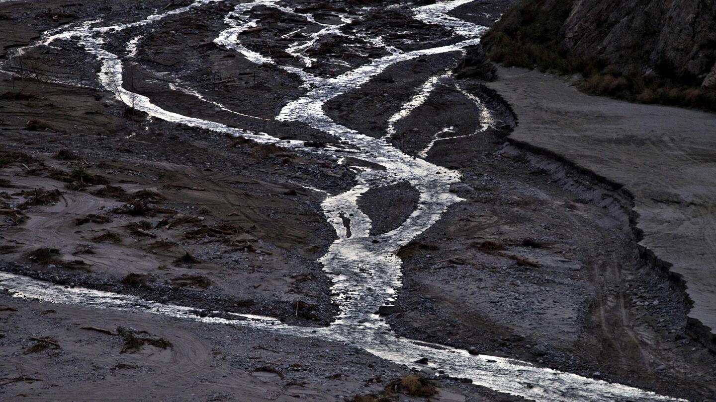
Extremely low levels of water flowing through meandering streams of the east fork of the San Gabriel River in the Angeles National Forest show the effects of the prolonged drought. The water flows into the San Gabriel Dam and the Morris Dam, further downstream. (Allen J. Schaben / Los Angeles Times)
Advertisement
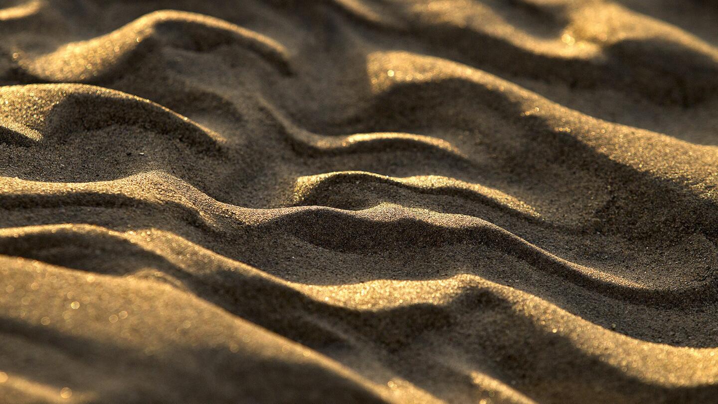
Sunrise highlights patterns in the sand that remain after the water receded at the drought-stricken Pine Flat Reservoir. (Allen J. Schaben / Los Angeles Times)
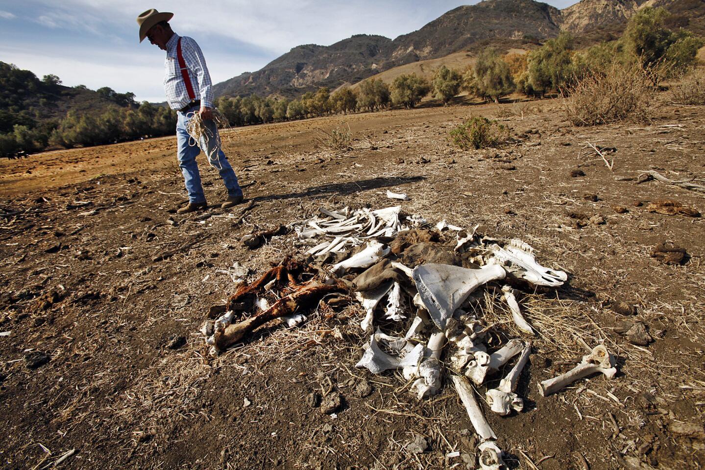
In January 2014, cattle rancher Rob Frost surveys the remains of an animal that died due to drought conditions on grazing land near Santa Paula, where the grass is normally 6 to 10 inches high this time of year. Frost says in an ordinary year he will lose 1% of his cattle to natural causes but he is now losing nearly 10%. (Al Seib / Los Angeles Times)
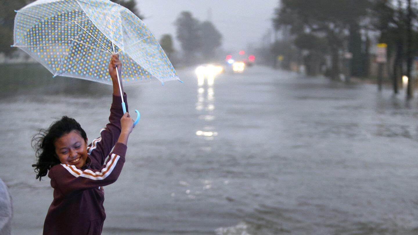
A girl loses control of her umbrella after being rescued by a Huntington Beach police officer and a tow truck operator. Her family became trapped in their disabled car in the middle of flooded Heil Ave. amid a heavy downpour in Huntington Beach.
(Allen J. Schaben / Los Angeles Times)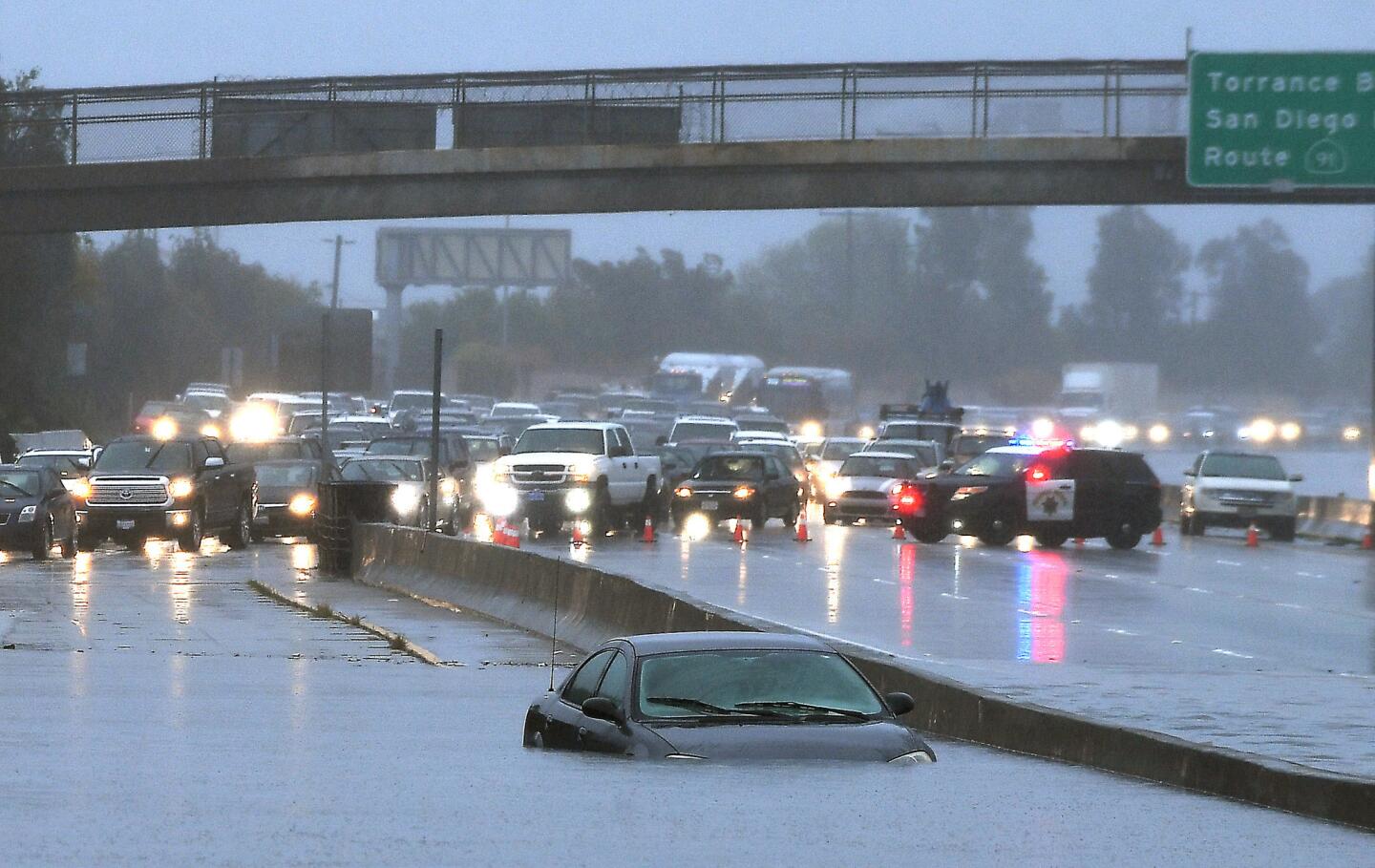
A car is stuck in standing water on the southbound 110 Freeway on Jan. 22. (Christina House / For The Times)
Advertisement
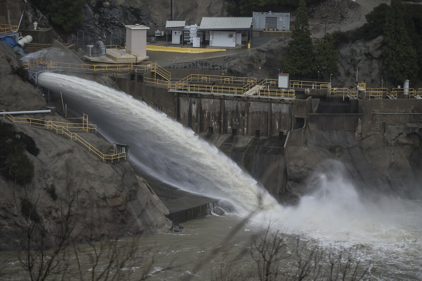
A fast moving discharge of water spews from the San Gabriel Dam, as a storm front moves through the area.
(Robert Gauthier / Los Angeles Times)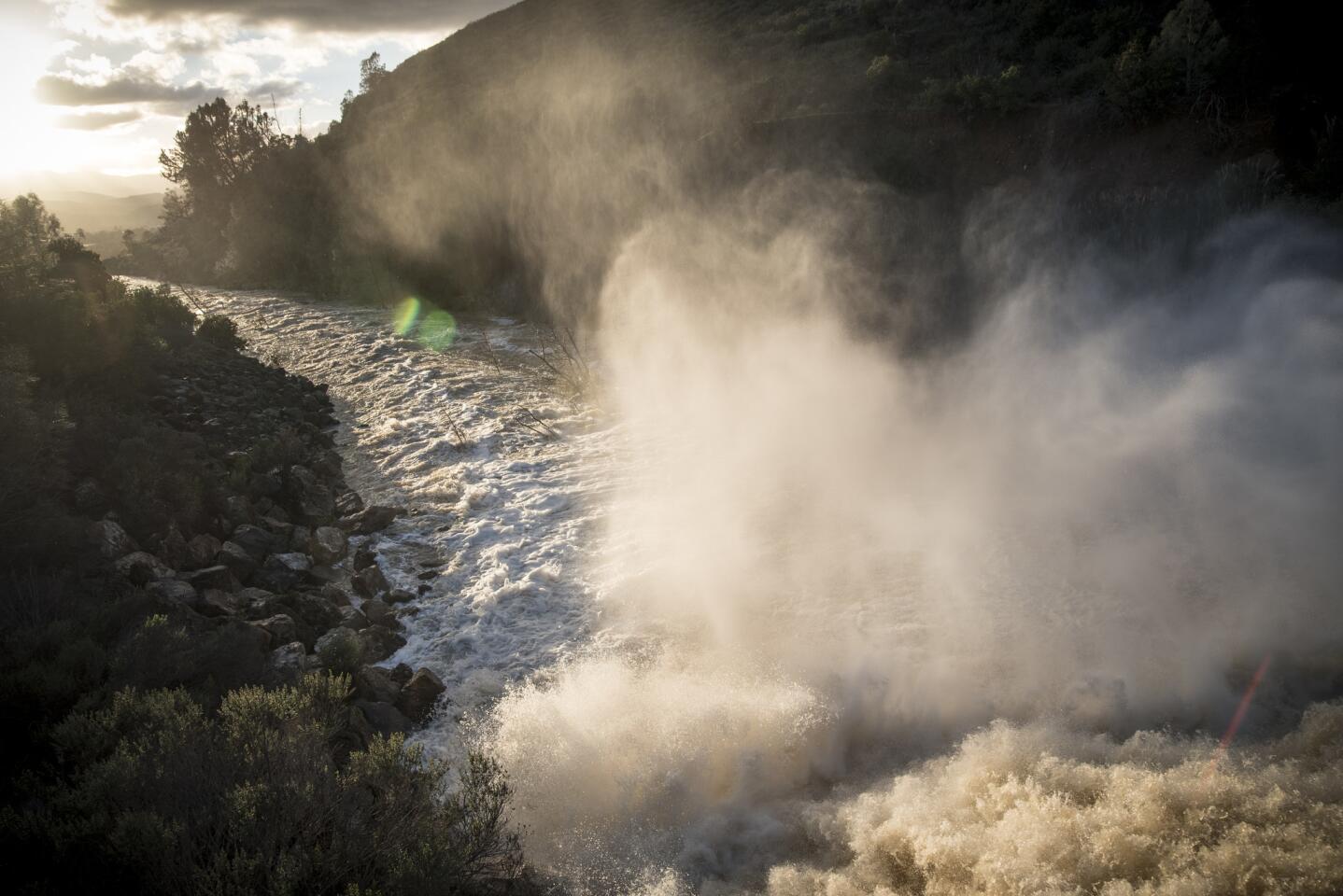
FEBRUARY 23, 2017 MORGAN HILL, CA -- A view of the Anderson Dam spillway which releases water from the Anderson Dam, causing water to spill down towards San Jose and flood parts of the city this week. (David Butow/For the Times) (David Butow / For the Times)
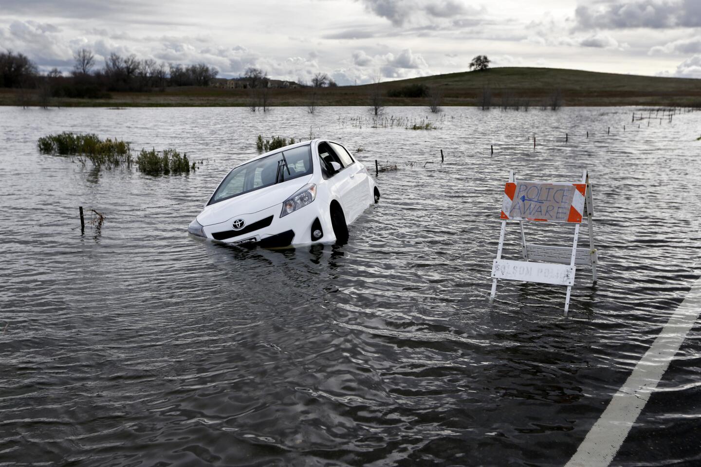
A Toyota automobile is submerged along Green Valley Road near Folsom Dam in Folsom, Calif., on Jan. 11, 2017. (Gary Coronado / Los Angeles Times)
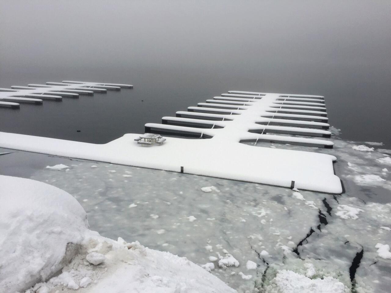
Snow covers boat slips and a lone picnic at Lake Arrowhead on Monday as the latest strom moves through.
(Gina Ferazzi / Los Angeles Times)Advertisement
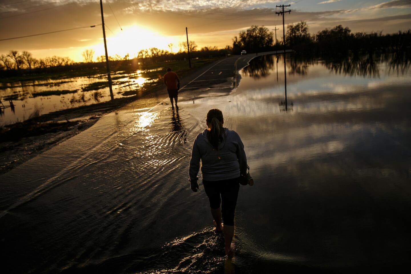
Melissa Martinez and her son, Fernando Martinez wade away from the flooded area of Gridley Road, near the Feather River as it continues to swell in Gridley, Calif.
(Marcus Yam / Los Angeles Times)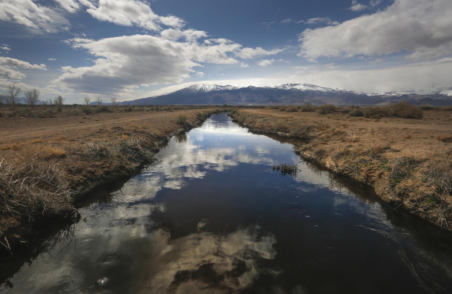
The clouds are reflected in the still waters of a water channel off Fish Slough Road in Bishop, California March 25, 2017. With a season of record snowfall in the Sierras, the the Owens Valley is preparing for possible floods.
(Mark Boster / Los Angeles Times)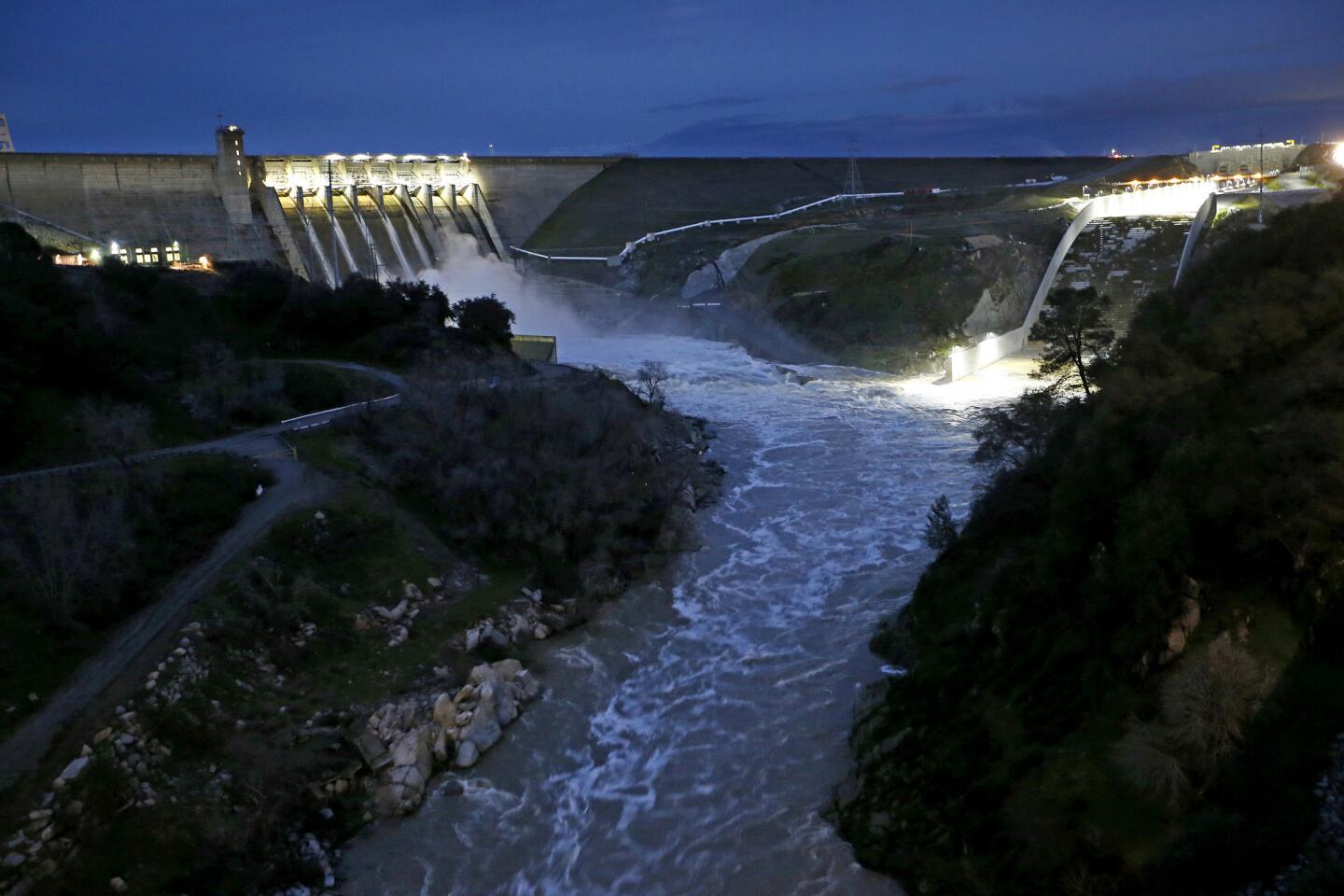
Folsom Dam releases water into the American River, in Folsom, Calif., on Jan. 11, 2017.
(Gary Coronado / Los Angeles Times)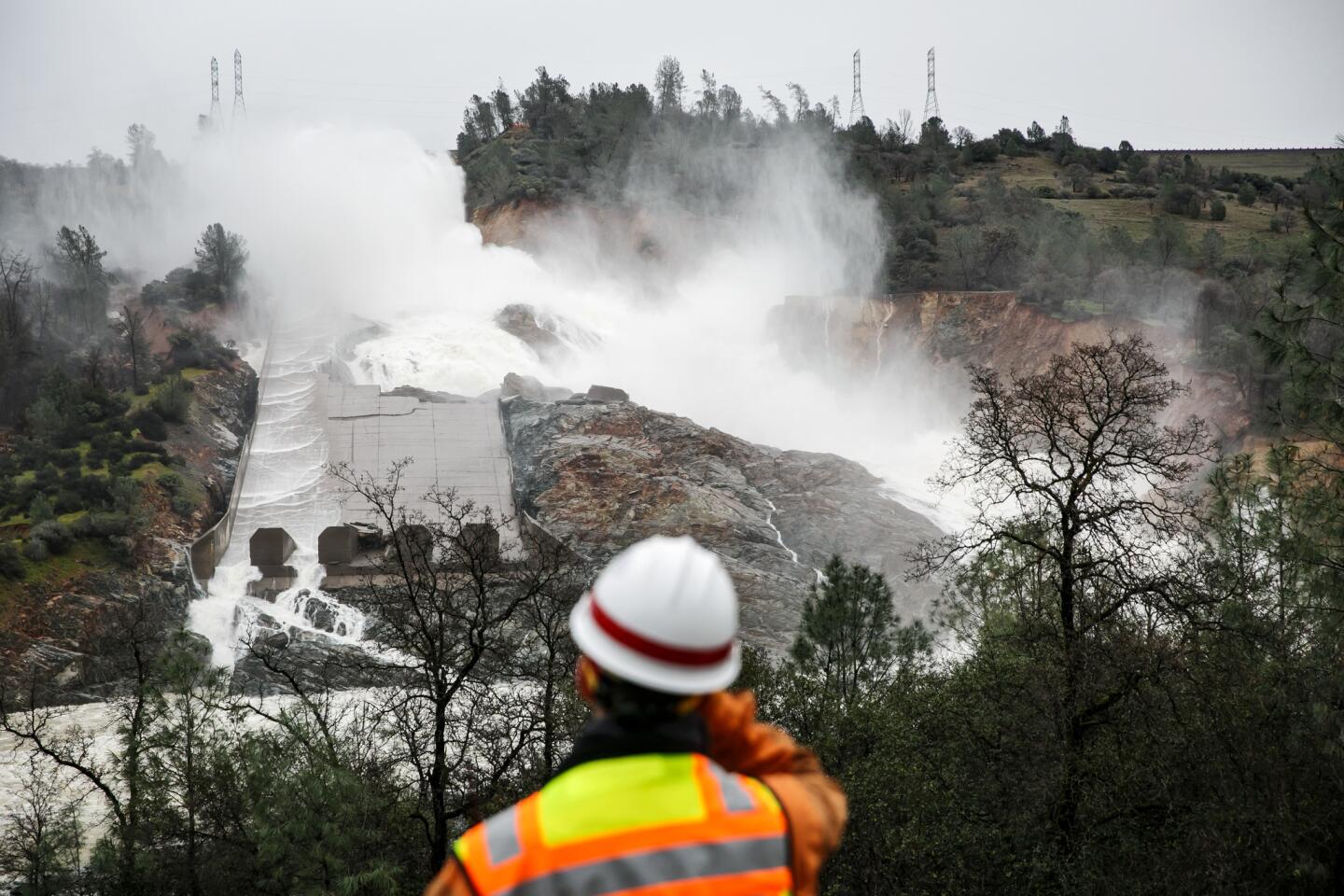
Water output on the Oroville Dam has been reduced making the erosion and damage to the main spillway more visible, in Oroville, Calif., on February 19, 2017.
(Marcus Yam / Los Angeles Times)Advertisement
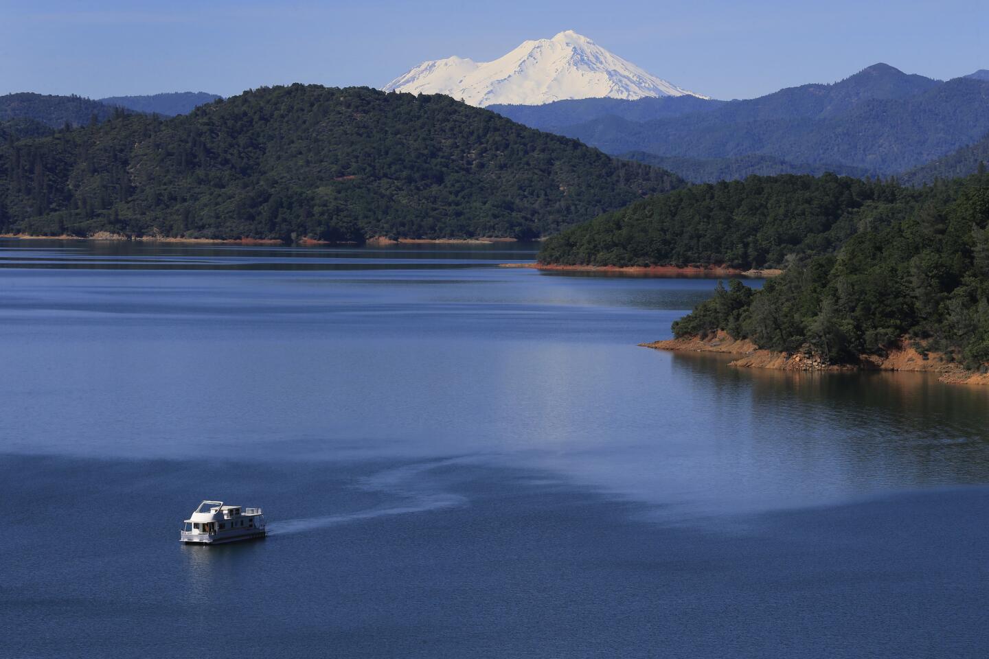
A house boat is on Shasta Lake, which is now more than 90% full thanks to El Nino.
(Allen J. Schaben / Los Angeles Times)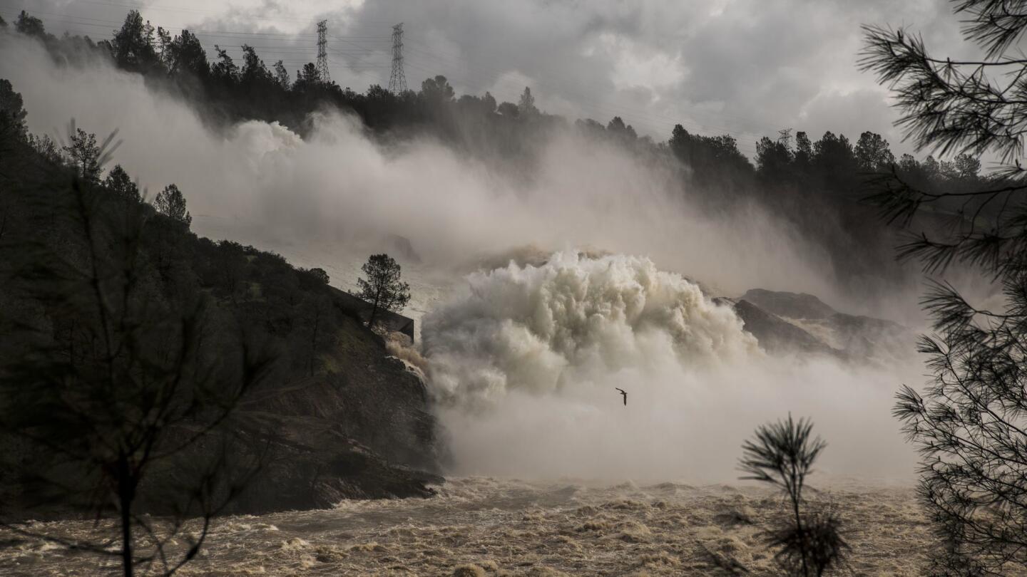
OROVILLE, CA FEBRUARY 10, 2017 -- Water cascades down the spillway below the Oroville dam. The water is being released by authorities to ease flooding in Lake Oroville because of recent heavy rain. (David Butow / For the Times) (David Butow / For the Times)
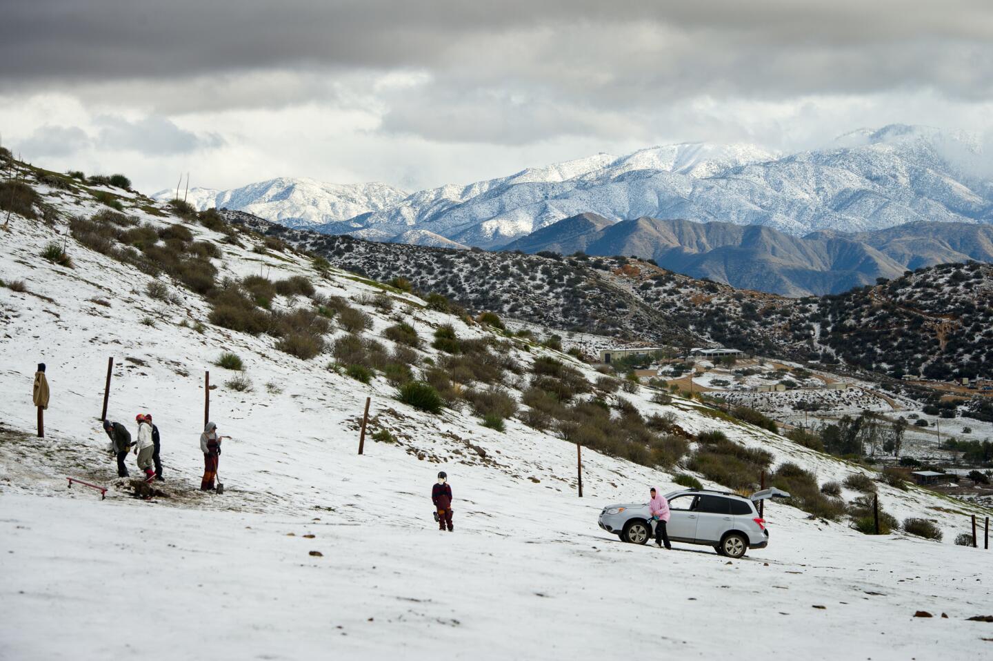
People enjoy the snow in Acton.
(Michael Owen Baker / For The Times)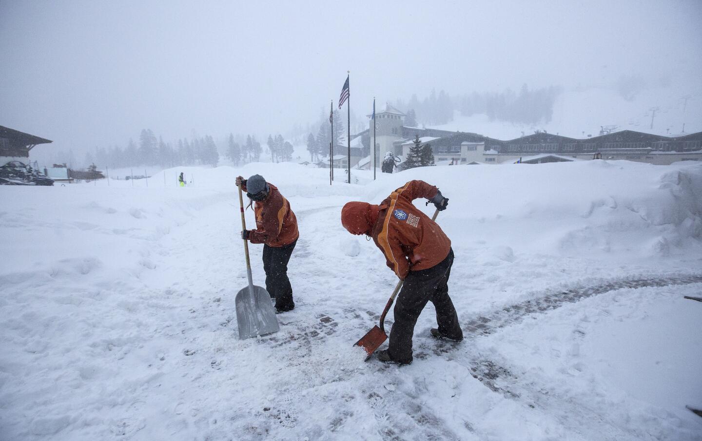
Employees shovel snow as snow falls at Mammoth Mountain in Mammoth Lakes, Calif., on Jan. 7, 2017.
(Brian van der Brug / Los Angeles Times)Advertisement
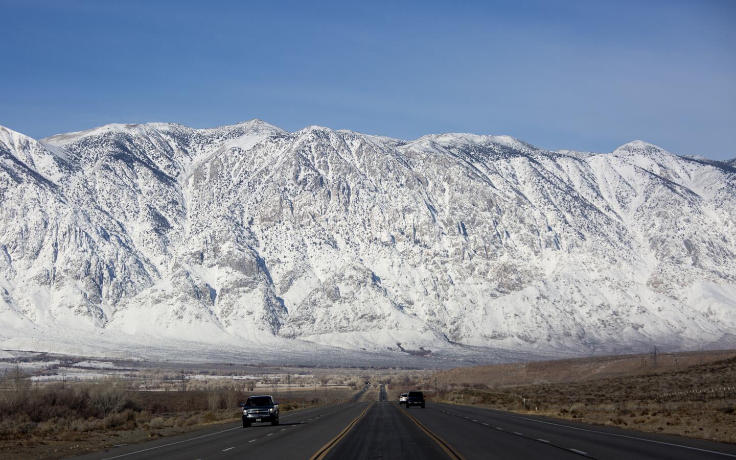
Snow blankets the Sierra Nevada crest north of Bishop along U.S. Highway 395 in Round Valley, Calif., on Jan. 6, 2017.
(Brian van der Brug / Los Angeles Times)


